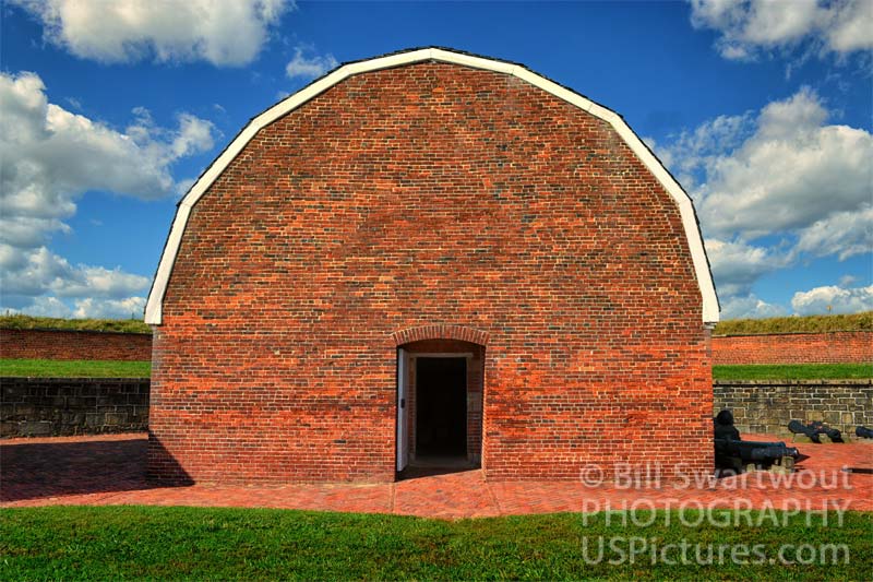
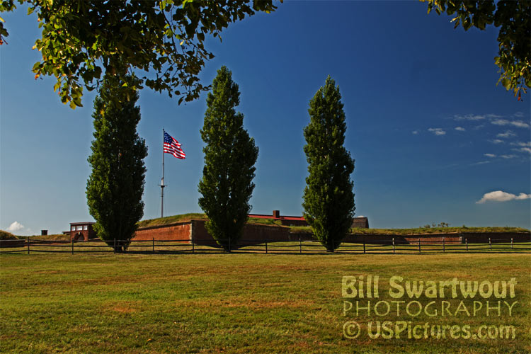
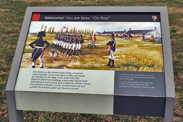
The perfect location to construct a fort to defend the city of Baltimore.
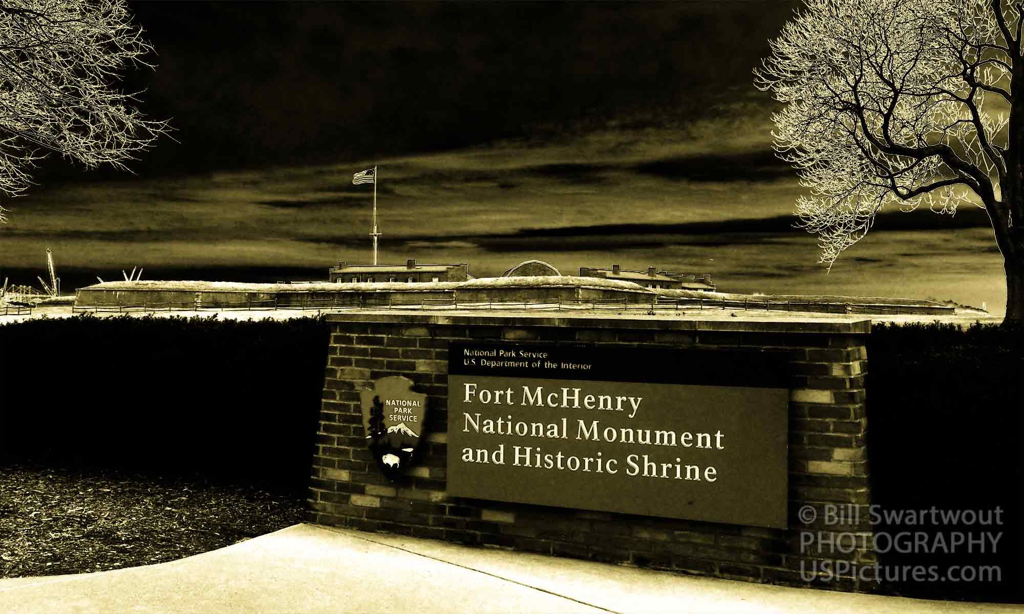
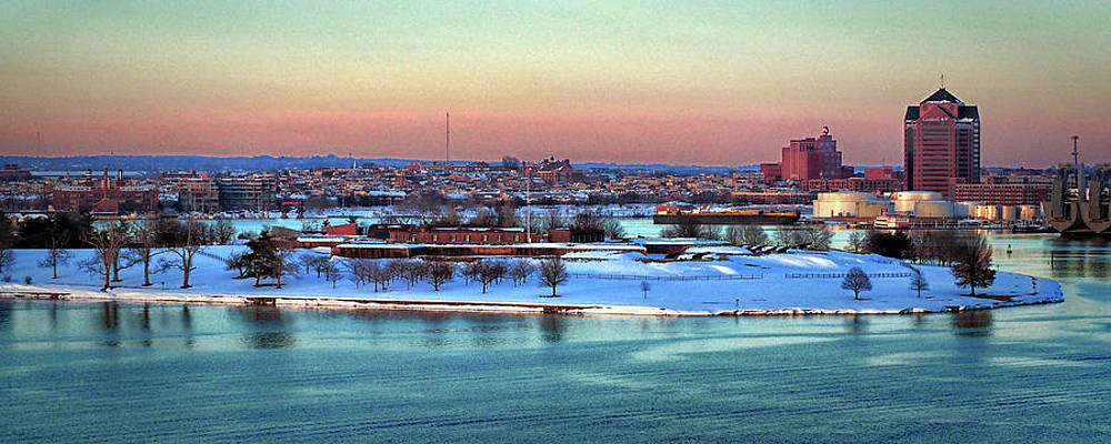
The location of Fort McHenry was not decided by chance, it was decided by geography. Any fleet of warships attempting to reach Baltimore had to sail up the Chesapeake Bay and the Patapsco River. The river splits into two parts with the northern branch leading directly to the city itself and the southern branch leading to a possible “back door” approach to the city. The easternmost end of the Baltimore Peninsula was the best natural location to build the defensive fort, Fort McHenry, to protect the city.
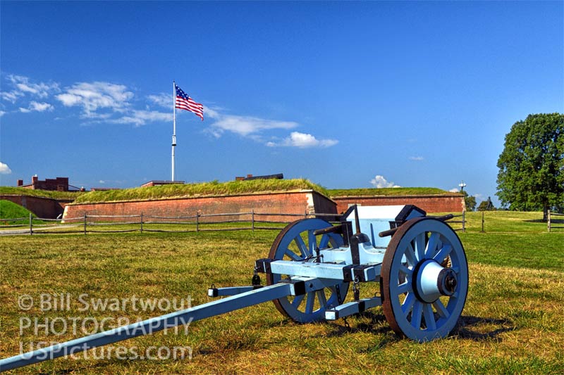
When the War of 1812 began, the city of Baltimore was a major point of contention between the British and Americans. The British Navy blockaded Baltimore Harbor in an attempt to cut off American trade and prevent their ships from resupplying the American troops. In response, the Americans built Fort McHenry on the Baltimore Peninsula to defend the city from attack.
Fort McHenry was an ideal location for the defense of this important maritime port city. The Baltimore Peninsula is a long, narrow strip of land that juts out into the Chesapeake Bay. It was the perfect location to build Fort McHenry, because it provided a clear view of the bay and the ships that were approaching Baltimore. The fort was also close enough to the city to provide protection, but far enough away so that the city could not be bombarded by the enemy. The peninsula on which Fort McHenry was built was the perfect location for the defense of Baltimore. The peninsula is surrounded by water on three sides, with only a narrow strip of land connecting it to the mainland. This made it an ideal spot to build a fortification protecting the city from attack.
Shopping link to: Fort McHenry Gallery.
